NOTE about Tagus river and estuary
The Estuary of
Tagus is one of the largest in Western Europe. It has an area of
325 km2 and is one of the 10 more important humid areas for
aquatic
birds in Europe, being endangered by
industry and urban pressure. It
has an average of 1900 million m3 of water and a
saline intrusion occurs
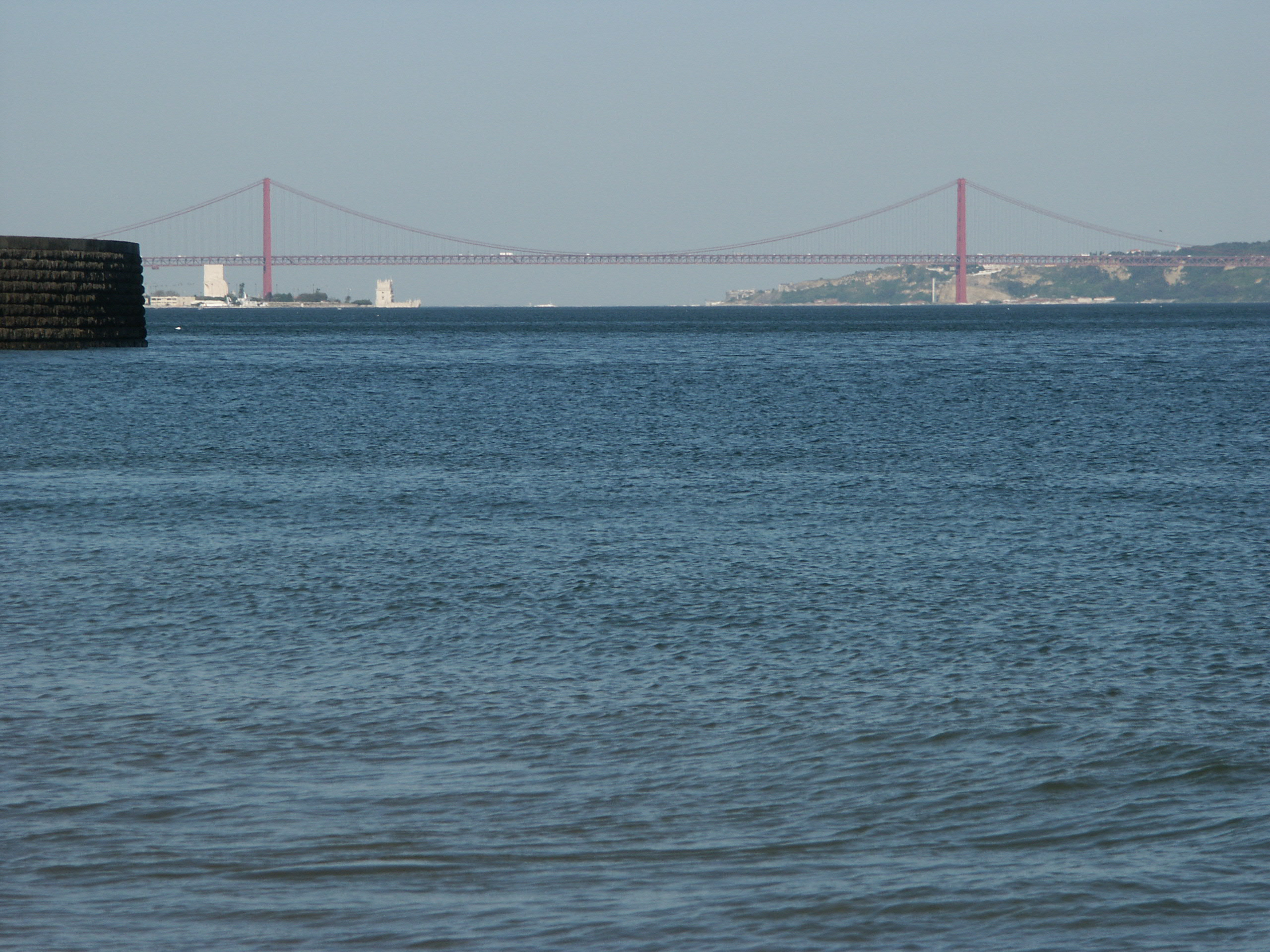
until about 20 km from Lisbon. The amplitude
of
tides in Lisbon varies between
4,2
m and 1,2 m. In terms of mixture of saline water it is partially stratified.
The average flow of the river is 400 m3.s-1,
varying
between 100 and 2000 m3.s-1, according to the
months
(during flooding it had a recorded flow
of 14 000 m3.s-1). The total area of the
watershed is 630
km2, being 31% in Portugal and the remaining
69% in Spain.
The river's
length is 1070 km.
The
geology of the
low Tagus valley is very complex. The last
volcanic
manifestations occurred 80 million years ago. During the quaternary
(within the
last 2 millions of years) there were several big oscillations in the
sea level
(more then 60 m, due to glaciations) and a big variety of flora and
fauna
developed in the area.